About 45 min one-to-one, or 60 min with a small group
1. Warm up (5 to 10 min): Ask the quick questions with notes closed.
2. Teach: Work through the lesson slides in order.
3. Coach practice: Use the student examples and try-it tasks.
4. Check: Finish with the outcome prompts below.
Warm-up questions
What can a map show that a written description might miss?Listen for: Distances, routes and relationships between places. This sets up geographic thinking.
Why did fur traders travel by river?Listen for: Rivers were the easiest routes. Listen for geography shaping history.
How might a new road change a community beside a river?Listen for: More access, traffic and land change. This sets up assessment.
What to check they understood
S.3
Ask them to draw a conclusion from a fur-trade river sketch.
A strong answer points to specific features such as forts at river junctions and explains what they show about trade.
S.3
Ask them to assess how a resource road changes land beside a river community.
A strong answer names benefits such as access and costs such as habitat loss, and gives a supported judgment.
Likely gaps from earlier grades
Students describe maps without drawing conclusions. Ask what the pattern means.
Class slides
Work through the class slides
1 / 7
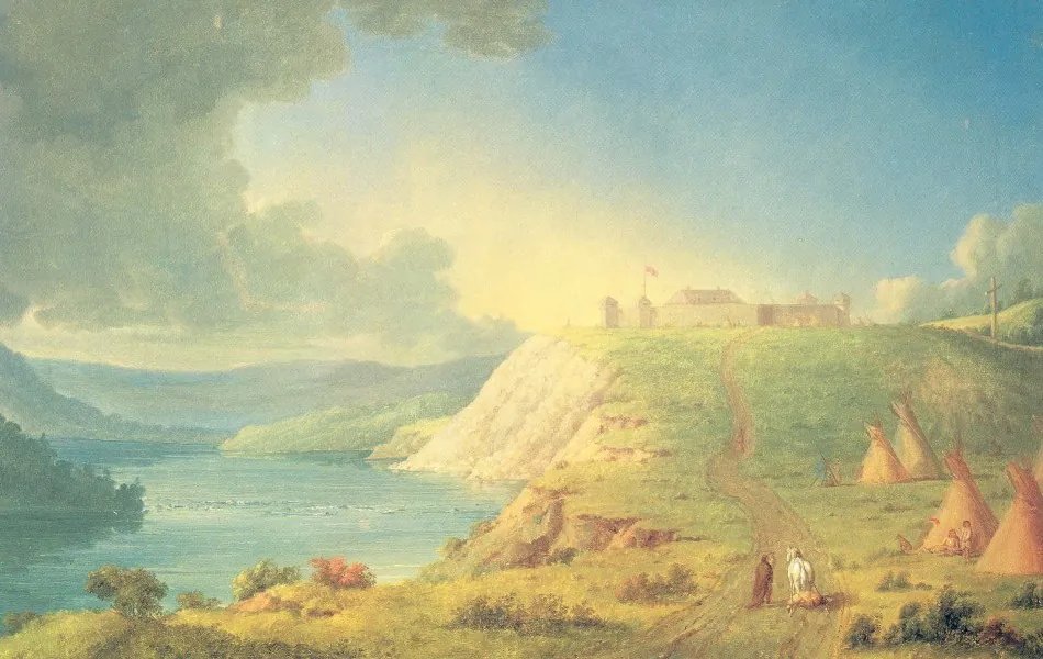
A fort sitting on a river
Fort Edmonton stood on the North Saskatchewan River during the fur trade.
Brigades moved supplies and furs along that river, travelling between forts.
Today's sketch shows that river, the fort on its bank, and a mark for furs travelling back upstream.
Paul Kane painted Fort Edmonton in the 1840s. The Hudson's Bay Company built the fort on a high bank of the North Saskatchewan River. Boat brigades used the river to bring in supplies and carry furs out. The river is the reason the fort, and later the city, sit where they do.